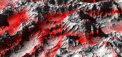
| "1st light" image: The first image rendered after implementation of the fractal Terrain object type. Colorization is very artificial (sometimes called the "patriotic zebra" colorization, but only Austrians may understand this name) to show the height levels and structures of the Terrain object. |
 |
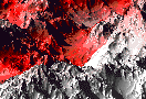
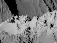
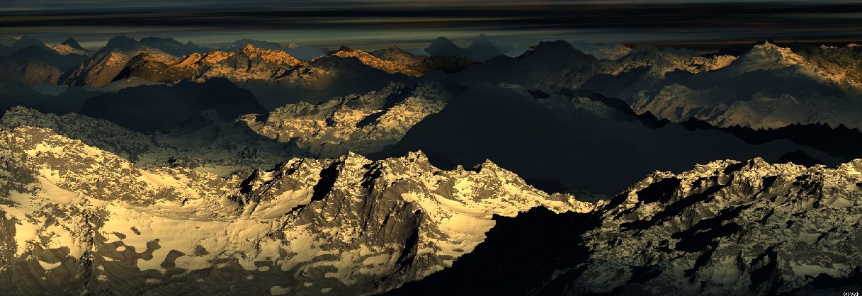
| Selected part of the "1st light" image with some lower observer altitude, looking just along a chain of mountain peaks. This view might remember one to the Stubaital valley in the Tyrolean Alps. |
 |
|
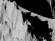
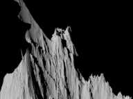
A Mountain Zoom
|
|
|
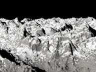
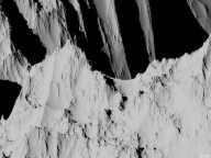
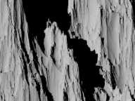
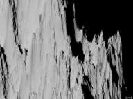
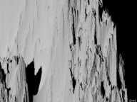
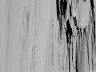
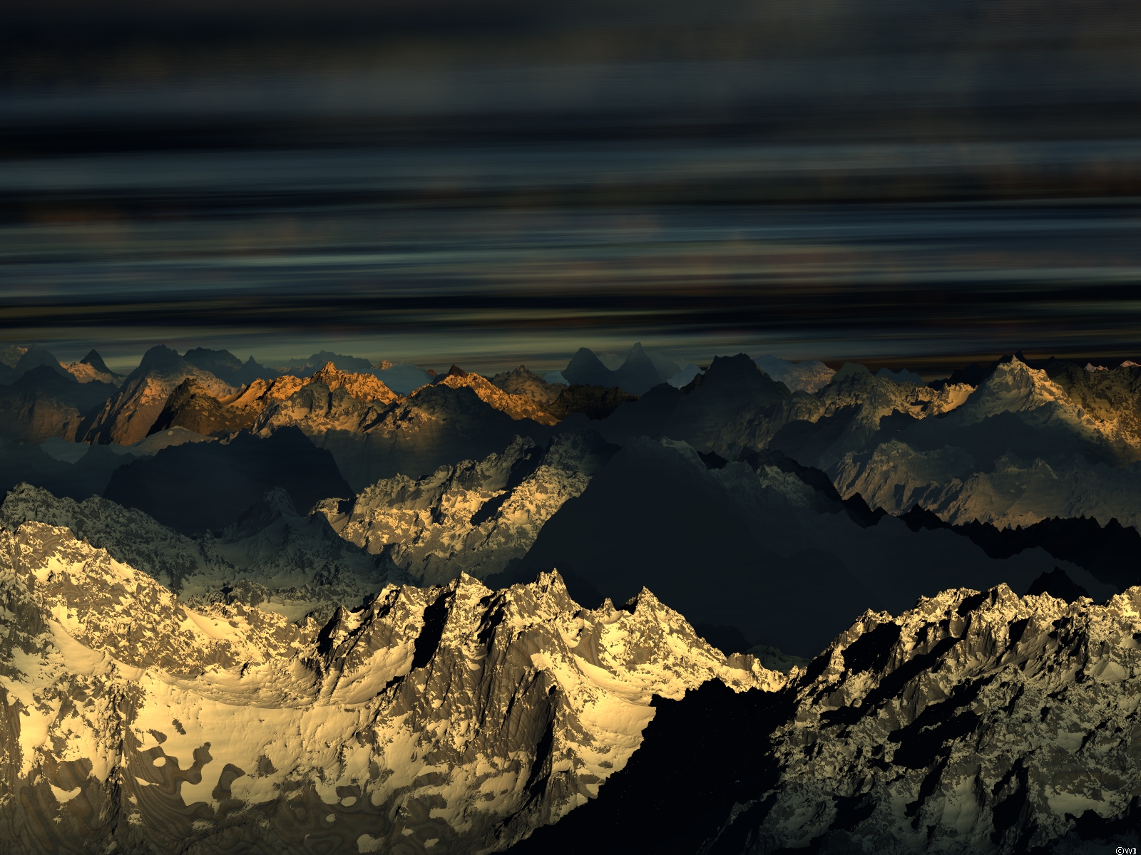
Textured Mountains Alpine glaciers, snow fields, sedimental layers, granite and calcium rocks,... An attempt to approach natural structures. |
|
|
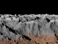
The largest rendering so far can be found
here.
It took about 60 days by the available hardware in ca. 2002.
| |
All images presented here are © by Werner Benger.